Tracing the Maps in George Washington's Life
Want of accurate Maps of the Country, which have hitherto been the Theater of War, has been a great Disadvantage to me. I have in vain endeavored to procure Copies and have been obliged to make Shift with such Sketches as I can trace from my own Observations . . . .
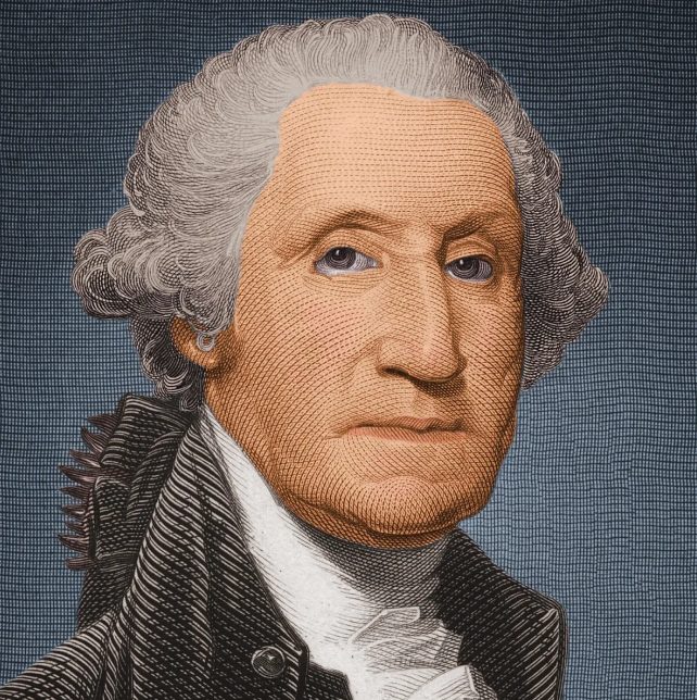
Most Americans are familiar with George Washington's role as General of the Continental Army during the Revolutionary War or as the first President of the United States, but many may be unaware that he was a geographer for much of his life. From the time he was a young surveyor through his career as surveyor, soldier, planter, businessman, land speculator, farmer, military officer, and President, maps, surveying, and geography shaped Washington's understanding of the world around him, helped him to make a living, and played a prominent role in the way he viewed his responsibilities as a citizen and as the country's leader. Between 1747 and 1799 he surveyed more than two hundred tracts of land and bought or owned more than sixty-five thousand acres in at least thirty-seven separate locations. Even in his role as Commander in Chief of the Continental Army in the Revolutionary War, Washington was sometimes called upon to produce his own field sketches due to a lack of adequate maps, as is suggested in the excerpt above. By 1777, Washington realized the need for accurate maps for his army and created the post of Geographer to the Continental Army, with Robert Erskine as the first geographer.
Although he is the subject of more biographies than any other American, George Washington, has not received proper recognition for a significant part of his career. Since his death in 1799, over a thousand books have been written about his public and personal life; none, other than a few brief references, were mentioned in the earliest biographies, most of which were written in the nineteenth century. During the present century, however, almost every biography of Washington mentions his surveying and land speculating activities in some fashion, and in recent years a number of works have been published specifically dealing with these subjects.
The George Washington Atlas, published in 1932 by the George Washington Bicentennial Committee, was the first attempt to bring together all maps or surveys that were drawn or annotated by George Washington. The atlas was conceived as a small part of a nationwide observance of the bicentennial of Washington's birth. It identified 110 maps or surveys, both original and copied, that were known to have survived and listed them in order of their dates. The author of the atlas, Colonel Lawrence Martin, chief of the Geography and Map Division, Library of Congress, attempted, with the help of friends and colleagues in the field of cartography, to identify all known Washington maps and in the process discovered more than 20 items, some never published, that had been overlooked in previous works. These range from Washington's first surveying exercise in 1747 to his last survey of the Mount Vernon lands. They encompass pencil and quill ink sketches, survey field notes, and finished survey plats. Recent research has uncovered additional items that were not included in the 1932 inventory.
Washington's cartographic career is divided here into two periods, public surveyor and private land speculator. The influence of practical surveying experience and an intimate relationship with the land, gained by his work as a surveyor's apprentice and in his role as a businessman and land speculator, was the major force that helped form Washington first into a surveyor and later into one of the most prominent citizens of Virginia and, finally, of the U.S. These experiences gave him both the knowledge and the confidence to assume leadership roles, first in his county and later in his state and the nation.
 Famous Persons
 English
 Jerry
Jerry Facebook
 Twitter
 Pinterest
 Linkin
 Email
Email Copy Link